Frank Taylor (Google Earth blog) place very nice information about
new technology of data mining.
For this and near technologies we make program
SuperoverlayI add to post full text and comment by
David RiallantGEarth blog.
===============
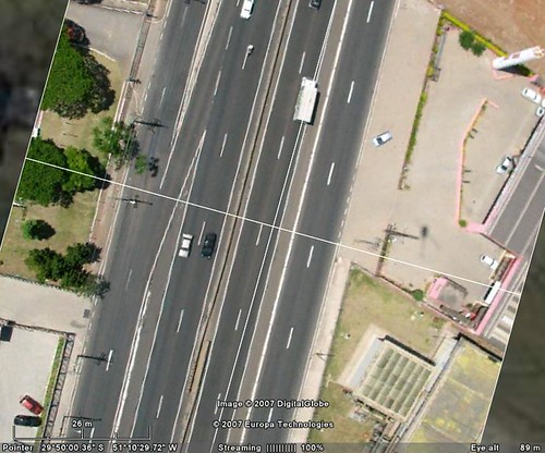
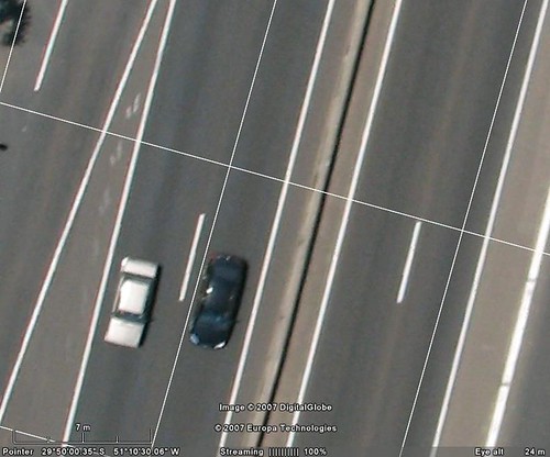
Watch Remote Control Plane with Camera Capturing Real-time Images for Google Earth Check out this really cool video showing a guy launching a small unmanned remote control aerial vehicle with a digital camera used to capture images and then show the images in Google Earth.
Video 1Video 2
The company Pict'Earth, has released these videos on their web site. The guy can view the images in real-time with VR goggles. Later, the images can be shown in Google Earth. This has got to be one of the cooler things I've seen done with Google Earth! And, there are some real practical uses of this technology. Google should take note. This technology could be a much less expensive way to acquire very-high-res data for certain situations - particularly for special events.
===========
I add to post full text of comment by
David Riallant----------------------
From PictEarth staff
Hello we have been working on PictEarth for more than a year now.
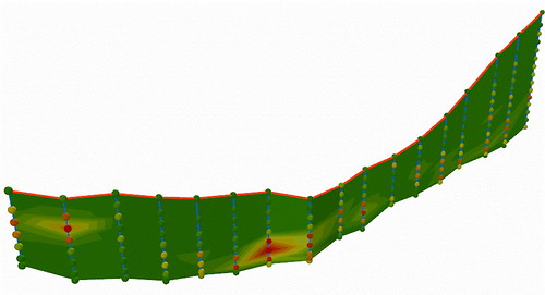
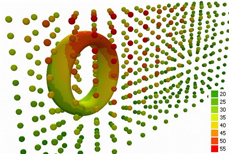
First of all to answer technical questions : there is one video camera (low res) with images streamed down real time to the ground. This is what we use for live update. But a digital camera shoots 7 - 9 megapix images at the same time. In post process we get images from the camera. With these images we can go as low as 3 cm resolution.
Second point : we get a very good mosaic but for fine results images can be post processed. This has been our job for the past 5 years so we know what we are doing...
We can provide the full packaged solution : from the UAVs to the video goggles, software, fine correction services... to meet your exact needs.
We have worked so far on many applications : agriculture, archeology, indistrial areas, road surveillance...
If you have to fly bigger areas, we also offer a regular plane platform but often projects fit into the UAVs possibilities.
It is true that satellites do incredible job with very fine res, on big areas. But our idea is : how worth is the information if it is not fresh, if you do not control the source? Do you buy last month's news paper? How do you do if you need a regular update on a specific high value area? Do you buy a full Ikonos every week? This is where we stand : provide high temporal and spatial resolution on specific areas of interest.
All your critics, suggestions and projects are welcome.
------------------
One time Stefan Geens (Ogle Earth) public next interest info.
"Chris DiBona: Accessible high-resolution Earth a cause for optimism"Old links from my fun archive:
http://www.engadget.com/2004/09/14/how-to-take-digital-photos-from-a-kite-part-1-the-camera/ http://www.engadget.com/2004/09/21/how-to-take-digital-photos-from-a-kite-part-2-the-kite-and/ http://www.gearthblog.com/blog/archives/2006/06/digital_camera.htmlhttp://arch.ced.berkeley.edu/kap/gallery/gallery.html I see in this publications good sign. GIS it is not software, geodatabases and projects only.
GIS it is engine for next
ideas and technologies.


