Placemarker 0.0.3
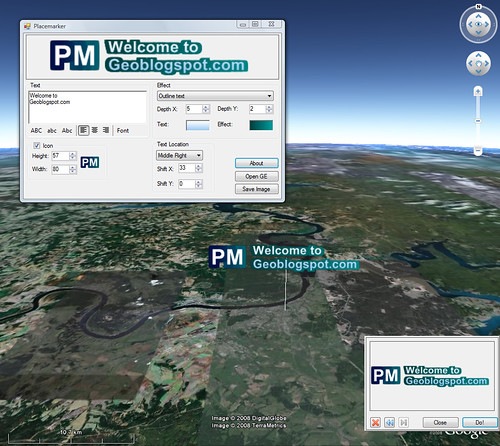
New feature - color gradient
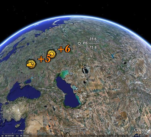
Example
 View in Google Earth


 |  |
 View in Google EarthView in Google Earth
 View in Google Earth
 View in Google Earth
All countries:
 Boundaries Colorized Countries as areas
All admins level 1:
Boundaries Colorized Admins as areas
U.S. State Boundaries admins level 0,1,2:
International Coastline Shoreline
U.S. County Boundaries U.S. County colorized Puerto Rico County colorized Hawaii County colorized Alaska County colorized
U.S. National Atlas Urbanized Areas
U.S. 109th Congressional Districts