Datapult in actions http://www.datapult.info/content/natural-gas
Natural gas
Industrial Commodity Statistics Database
Source: United Nations Statistics Division
The United Nations Industrial Commodity Statistics Database provides annual statistics on the production of major industrial commodities by country. Data are provided in terms of physical quantities as well as monetary value. The online database covers the years 1995 to 2007. Additional historical data is available on request, based on a different product list, for the years 1950-2003.
Last update in UNdata: 23 Feb 2010
Next update in UNdata: Feb 2011
Gases consisting mainly of methane occurring naturally in underground deposits. It includes both non-associated gas (originating from fields producing only hydrocarbons in gaseous form) and associated gas (originating from fields producing both liquid and gaseous hydrocarbons), as well as methane recovered from coal mines and sewage gas. Production of natural gas refers to dry marketable production, measured after purification and extraction of natural gas liquids and sulphur. Extraction losses and the amounts that have been reinjected, flared, and vented are excluded from the data on production.
Showing posts with label geostatistic. Show all posts
Showing posts with label geostatistic. Show all posts
5/14/2010


1/30/2007
Isoliner 1.5.19
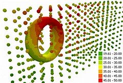
New version of Isoliner use Net 2.0.
We include also extension Slide Analyst into Isoliner as free function.
Now you can create isolines direct by grid or other slides of density.
1/26/2007


1/18/2007
Isoliner 1.0.8 New structure of dialogues. Part.1
Kriging.
Create GRID and points feature class (mesh) by selected source layer and Z attribute.
How Kriging works.
Kriging is an advanced geostatistical procedure that generates an estimated surface from a scattered set of points with z values. Unlike the other interpolation methods, Kriging involves an interactive investigation of the spatial behavior of the phenomenon represented by the z values before the user selects the best estimation method for generating the output surface.
2D Kriging

2D Feature Kriging

3D Kriging

3D feature Kriging

3D Surface

Create GRID and points feature class (mesh) by selected source layer and Z attribute.
How Kriging works.
Kriging is an advanced geostatistical procedure that generates an estimated surface from a scattered set of points with z values. Unlike the other interpolation methods, Kriging involves an interactive investigation of the spatial behavior of the phenomenon represented by the z values before the user selects the best estimation method for generating the output surface.
2D Kriging

2D Feature Kriging

3D Kriging

3D feature Kriging

3D Surface

Isoliner 1.0.8 New structure of menu.


1/16/2007
Isoliner 1.0.7
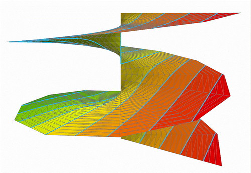
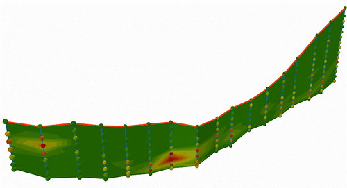

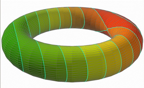
New version of Isoliner. Isoliner is the ArcGIS extension for make grids and points theme with interpolate by Kriging's and triangulation method. Isoliner include additional 3D functions, interpolation by features, generation of random points.
Full gallery of images.
Large updates. Change structure of functions and license.
2D Kriging - free
2D Feature Kriging - free
3D Kriging - plus
3D Feature Kriging - plus
Interpolation By Raster - free
Interpolation By Mesh - plus
Interpolation By Triangulation - pro
3D Surface - pro
Create Triangulation - pro
Create Section - pro
Create Section By Plane - plus
Create Section By Profile - plus
Create track - plus
Convert Objects To 3D - free
Convert Raster To Points - free
Convert Mesh To Triangulation - pro
Import Objects To Mesh - plus
Import Objects To Voxel Mesh - pro
Random Points - free
3D Random Points - free
Random Point in Ellipse - free
Price: Standard / Plus / Pro versions - USD Free / 50 / 150
12/27/2006
11/26/2006
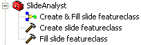
Slide analyst
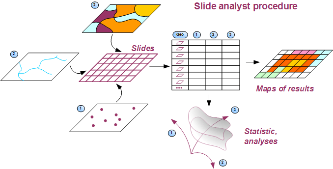
New home page of Slide analyst. Slide Analyst is the free ArcGIS 9 extension for calculate attributes density and relations.

Subscribe to:
Posts (Atom)