1/18/2007

Isoliner 1.0.8 New structure of dialogues. Part.2

Create triangulation.


Interpolation

By raster


By triangulation


By mesh (grid of points)

Isoliner 1.0.8 New structure of dialogues. Part.1

Kriging.

Create GRID and points feature class (mesh) by selected source layer and Z attribute.

How Kriging works.
Kriging is an advanced geostatistical procedure that generates an estimated surface from a scattered set of points with z values. Unlike the other interpolation methods, Kriging involves an interactive investigation of the spatial behavior of the phenomenon represented by the z values before the user selects the best estimation method for generating the output surface.

2D Kriging


2D Feature Kriging


3D Kriging


3D feature Kriging


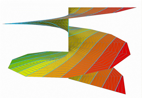
3D Surface

Isoliner 1.0.8 New structure of menu.

New version of Isoliner. Menu structure.
Isoliner now have new structure of commands and user interfaces.

Main menu


Interpolation by


Create


Convert


Import


Add-Ins

1/16/2007

Isoliner 1.0.7


New version of Isoliner. Isoliner is the ArcGIS extension for make grids and points theme with interpolate by Kriging's and triangulation method. Isoliner include additional 3D functions, interpolation by features, generation of random points.
Full gallery of images.

Large updates. Change structure of functions and license.

2D Kriging - free
2D Feature Kriging - free
3D Kriging - plus
3D Feature Kriging - plus
Interpolation By Raster - free
Interpolation By Mesh - plus
Interpolation By Triangulation - pro
3D Surface - pro
Create Triangulation - pro
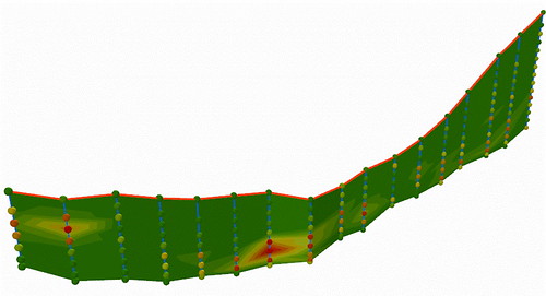
Create Section - pro
Create Section By Plane - plus
Create Section By Profile - plus
Create track - plus
Convert Objects To 3D - free
Convert Raster To Points - free
Convert Mesh To Triangulation - pro
Import Objects To Mesh - plus
Import Objects To Voxel Mesh - pro
Random Points - free
3D Random Points - free
Random Point in Ellipse - free


Price: Standard / Plus / Pro versions - USD Free / 50 / 150

1/15/2007

Superoverlay 1.5.5


Superoverlay version 1.5.5
Fixed bug with rotation of hi-res images.
Now results of rotation see fine.

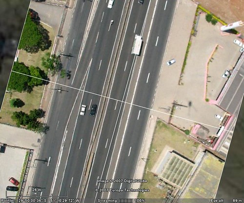
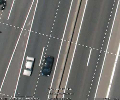
We place example of image on
http://gis-center.org/kml/test/duas/BDE00100.454.kmz
Credits by
Linomar

You can download file and double click on network link.
Size of example near 4Mb. We place all tiled images into one file as presentation
(use option Packing into KMZ - "pack into one "). For real works this option not need.

1/12/2007

Superoverlay.1.5.4

Superoverlay version 1.5.4

New features:
- 'Convert to 8-bit PNG' is now available ('convert to 8 bit' algorithm is improved)
Speed of work with 8 bit images now very fast.
- 'Invert black to white' option is added (useful for inverting black background to white). You can set white color as transparency and black as white for best show of labels and grid.

Improved features:
- full import of Groundoverlay parameters by add KML ( KMZ ) - altitude, timer tags, transparency, georeference.

We adapt Superoverlay to works with standard topomaps, geological and other thematic maps. If your map have small count of colors then you can use:
- 8bit output (png)
- transparency white color for remove background
- "invert black to white" option for see labels and grid in white color.
Google Eart support transparency in PNG files. 8bit PNG files have small size and see as optimal solution for standards maps.